It is well known that Metro Manila experiences floods during typhoon season due to heavy rains.
If you are a local of Paranaque City, you probably already know which streets and barangays are prone to flooding. If not, the extent of flooding in your area can be looked up online if you're unfamiliar with it.
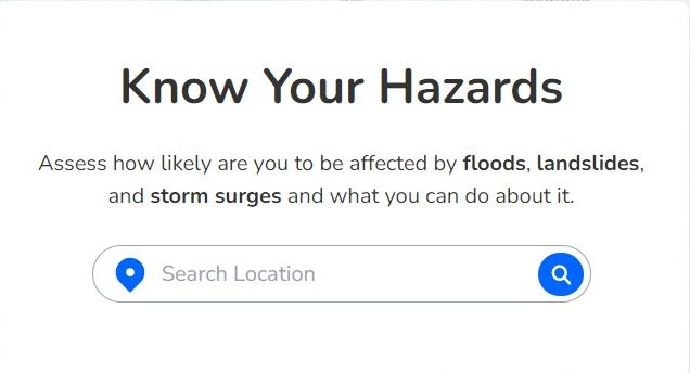
An online web tool, made possible by the National Operational Assessment of Hazards (NOAH), reveals areas vulnerable to floods, landslides, and storm surges. You can enter an address or see a map of your current location to see an instant visual representation of the affected areas. The map's magnification range extends from street level to barangay and city. The map is not a real-time tool for tracking floods; rather, it relies on historical information. Because of this, drivers may learn whether places are at risk of flooding without having to go through one.

To use the tool, go to https://noah.up.edu.ph, and enter your location or a different one. It will return results of possible places based on the street level of the address you enter.
Project NOAH is still in beta release. There are ongoing developments to stabilize the platform and complete the hazard maps.
No comments:
Post a Comment